Strategic Flood Risk Assessment Appendix F
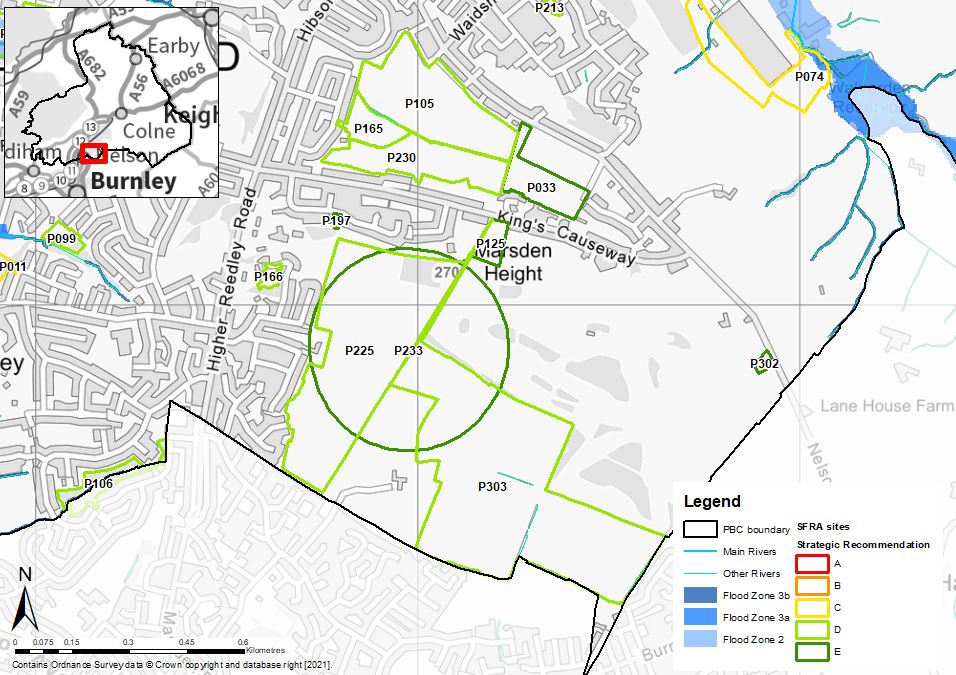
Marsden Height - flood risk from rivers
Maps showing the risk of flooding from rivers, and the risk of flooding from surface water
- File type: JPG
- Size: 150.43 KB
Maps showing the risk of flooding from rivers, and the risk of flooding from surface water